Probabilistic Heavy Snow and Icing Discussion
NWS Weather Prediction Center College Park MD
258 PM EDT Thu May 2 2024
Valid 12Z Thu May 02 2024 - 12Z Sun May 05 2024
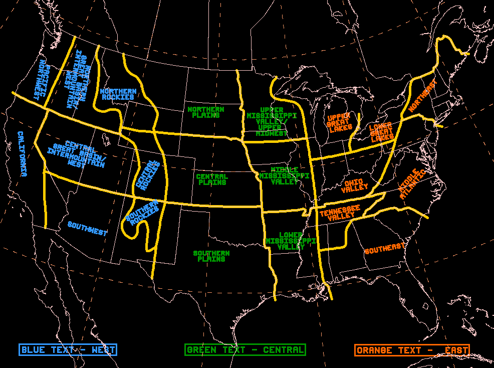
...Northern Rockies...
Day 1...
A potent 500mb disturbance tracking through the PAcific Northwest
this afternoon will race east over the Snake River Valley this
evening and into Wyoming by Friday morning. In addition to what
will be a surge in 500mb PVA over the region, the divergent left-
exit region of a 100kt 250mb jet streak will also position itself
overhead tonight and into Friday morning. Accompanying this upper
level disturbance is a plume of 700mb moisture flux that will
track over the Sawtooth this evening, then into the Tetons,
Absaroka, and Wind River Range tonight and through Friday morning.
While it will be quick moving, the excellent upper level ascent
produced by excellent synoptic-scale forcing will coincide with
upslope enhancement to produce locally heavy snowfall rates >1"/hr
in these mountain ranges >9,000ft. WPC PWPF shows...moderate-to-
high chances (50-70%) for snowfall totals >4" in the higher terrain
of the Tetons, Wind River Range, and the Absaroka through Friday
morning. Snow will come to an end Friday afternoon as the upper
level disturbance races east into the Great Plains the second half
of the day.
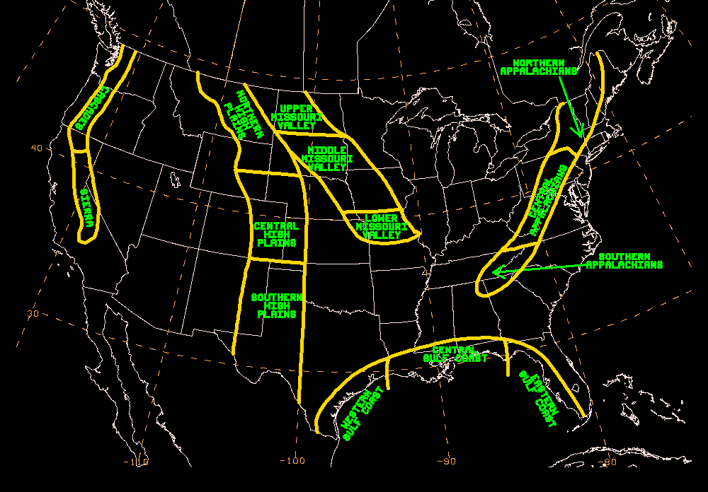
...Cascades through Sierra Nevada and Intermountain West...
Days 2-3...
Friday afternoon, an upper low off the coast of British Columbia
will dive southeast towards the Pacific Northwest. Upon approach,
it will continue to deepen until it eventually sports heights at
the 500mb and 700mb levels that are below the 1st climatological
percentile by 12Z Saturday according to the NAEFS SAT. Accompanying
this seasonally impressive upper low is a robust IVT that tops 500
kg/m/s Saturday morning that will deliver a plume of anomalous
moisture content into the Oregon Cascades, the Sierra Nevada, and
spilling over into the northern Great Basin throughout the day. As
the upper low approaches, the unusually cold temperatures aloft
(NAEFS 850mb and 700mb temperatures <2.5 climatological percentile
at 00Z and 06Z Sunday) will cause snow levels to plummet to as low
as 3,000ft in both northern and central California and the northern
Great Basin. In terms of when the heaviest snowfall is forecast to
occur, the Coastal Range of northern California and the Oregon
Cascades will see snow increase in intensity throughout the
morning, then it is the Sierra Nevada's turn around midday with
heavy snow lasting through the evening hours. While snow tapers off
in these areas Saturday night, the strong cold front accompanying
a surface low over the northern Great Basin will force a
changeover to snow Saturday night, then over eastern Oregon and
central Idaho during the say on Sunday where the Blue and Sawtooth
Mountains can expect periods of snow.
With the core of the highest IVT values expected to be positioned
over northern California, look for the Sierra Nevada to receive the
heaviest snowfall given the range's orientation being orthogonally
aligned with the mean 850-300mb wind flow maximizing topographic
snowfall enhancement. WPC PWPF depicts moderate-to-high chances
(50-70%) for snowfall totals >12" for elevations >7,000ft in the
Sierra Nevada. Elsewhere, the Siskiyou/Trinity/Salmon mountains of
northern California sport moderate chances (40-60%) for snowfall
totals >8" at elevations >6,000ft. The Oregon Cascades feature
low-to-moderate chances (30-50%) for snowfall totals >8" above
5,000ft. Farther inland, the >7,000ft peaks of the northern Great
Basin, the Blue Mountains, and Sawtooth Mountains all show low-to-
moderate chances (30-50%) for snowfall totals >6". In terms of
impacts, the Sierra Nevada stands out the most as most of the
ranges with elevations >6,000ft sport Moderate Impacts, indicating
that motorists can expect hazardous driving conditions with
possible closures and disruptions to infrastructure on Saturday. In
fact, the latest WSSI-P shows moderate chances (40-60%) for Major
Impacts in parts of the northern and central Sierra Nevada.
The probability of significant icing is less than 10 percent.
Mullinax


