Probabilistic Heavy Snow and Icing Discussion
NWS Weather Prediction Center College Park MD
415 AM EDT Thu May 2 2024
Valid 12Z Thu May 02 2024 - 12Z Sun May 05 2024
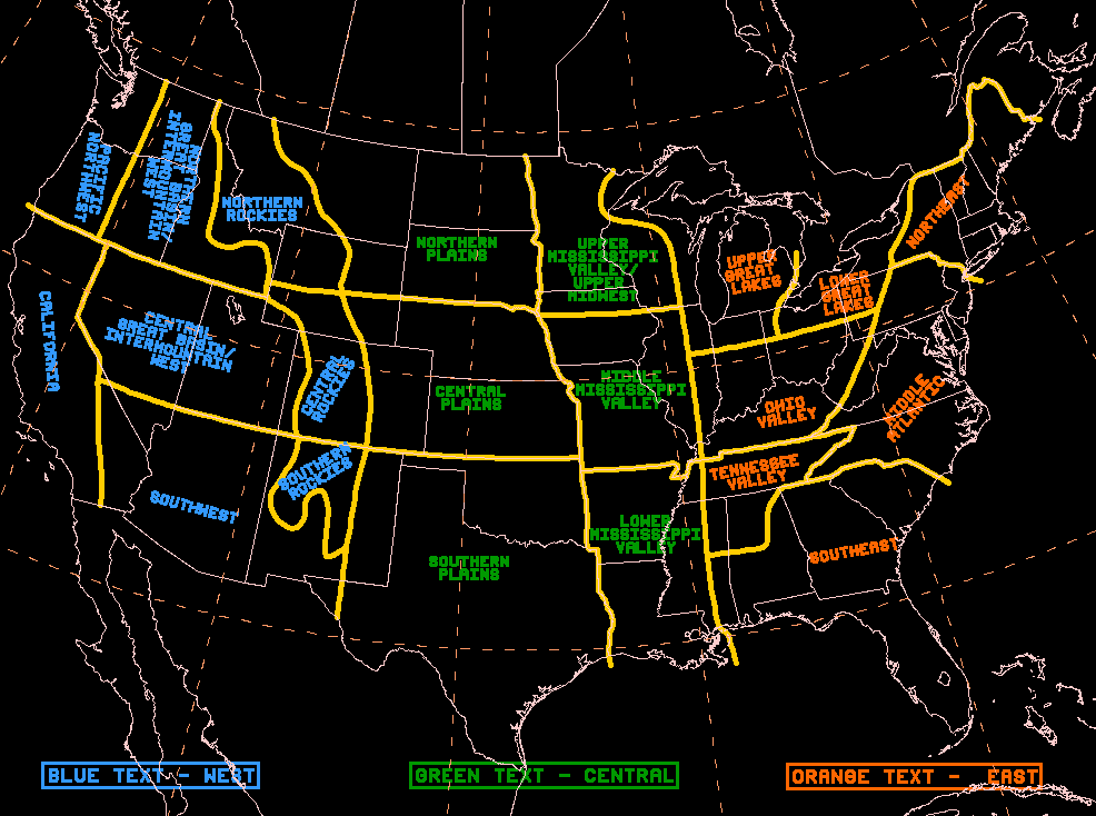
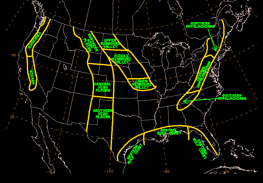
...Northern Rockies...
Day 1...
Low pressure centered near the Montana-Saskatchewan border this
morning will continue to drift slowly east today. Cool
northwesterly
flow, with embedded shortwave energy aloft, will continue to
support unsettled weather, including areas of moderate to heavy
snow over the central Montana mountains. Areas impacted include the
Little Belt Mountains, where WPC PWPF shows high probabilities (70
percent or greater) for additional accumulations of 8 inches or
more falling after 12Z this morning.
...Cascades through Sierra Nevada...
Day 3...
An upper low centered near the Aleutians this morning will drop
southeast and continue to deepen as it moves across the Gulf of
Alaska and the northeastern Pacific today and early Friday, before
reaching the Pacific Northwest Friday night. This anomalously deep
system is expected to bring widespread precipitation to the
region, beginning in the Pacific Northwest and northern California
Friday night, before spreading further south and east into central
California and the Intermountain West on Saturday. The heaviest
amounts are expected to fall along the Sierra Nevada, where left-
exit region upper jet forcing in addition to upslope flow will
bolster rates. As some of the heaviest precipitation begins to
fall, snow levels in the Shasta Cascade and northwestern California
mountains will remain high Friday night, but begin to fall quickly
below 5500ft Saturday morning, producing some locally heavy
amounts. Snow levels in the northern to central Sierra Nevada will
be between 6500-8500ft Saturday morning before dropping below
5000ft in the northern Sierra and below 7500ft in the central
Sierra Saturday night. WPC PWPF indicates that accumulations of 8
inches or more are likely along much of the Sierra Nevada,
especially for areas above 6000ft in the northern Sierra and 7500ft
in the central Sierra.
The probability of significant icing is less than 10 percent.
Pereira


